
Executive Summary
The joint BPN–Statscope publication dated 14 May 2025 examined imagery of Pakistan’s Kirana Hills area acquired around 9–10 May during the India–Pakistan confrontation. The original investigators interpreted tonal and structural differences as indications of a possible kinetic event. The article also advanced a hypothesis about a potential strike. This archive records that interpretation as a historical assessment, not a confirmed incident.
Research Objectives & Scope
The team set out to compare image observations between two dates, identify areas of apparent surface change and examine whether the differences could correspond to damage. The study focused on an area around Kirana Hills and discussed the strategic context of nearby installations.
Key Findings
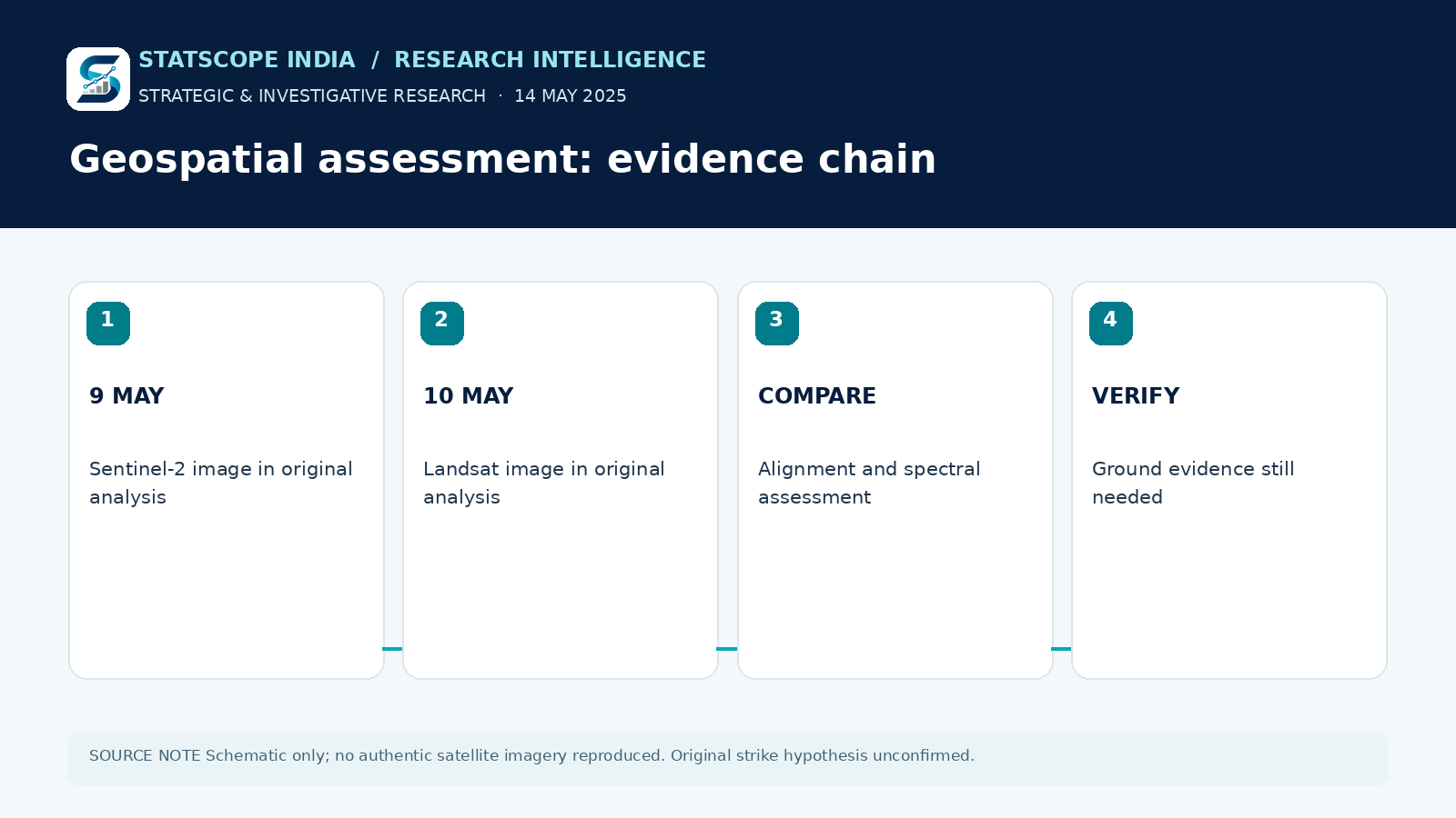
The report described darkened terrain, a crater-like feature and altered linear or entrance-like formations. It attributed its comparisons to Sentinel-2 imagery dated 9 May and Landsat imagery dated 10 May, with the sensors having different spatial resolutions. The original team offered a high-confidence interpretation; the accessible article does not supply a reproducible full dataset, ground photographs or independently confirmed post-event site inspection.
Research Approach
The authors described cross-sensor image comparison, alignment to geographic landmarks, spectral interpretation and thermal or surface anomaly checks. Cross-sensor differences, viewing conditions, clouds and processing choices are possible sources of error and require a properly documented reanalysis before a physical cause can be assigned.
Analysis & Implications
Satellite imagery can reveal changes that justify follow-up investigation, but an image anomaly is not itself proof of a weapon, an impact mechanism or a specific target. A responsible historical report distinguishes observable surface differences from the proposed explanation for those differences. That distinction is especially important where a claim concerns sensitive military or nuclear infrastructure.
Outcome & Retrospective
As of the materials reviewed for this archive, the original study’s conclusion has not been independently confirmed through on-site evidence. The 14 May 2025 assessment should remain dated and labelled as a disputed or unconfirmed hypothesis.
Limitations & Interpretation
The accompanying infographic is a research-method schematic, not satellite photography or verified damage mapping. No location-specific strike attribution is endorsed as fact.